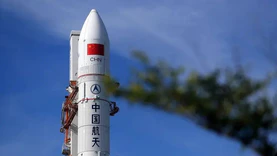
On the morning of May 21st, at the "AI for Earth: Earth Observation Forum" forum of the "Global Spatio Temporal Intelligence Expo" (WGDC2026), Zhao Wenbo, an academician of the International Academy of Astronautics and a researcher at the Earth Observation and Data Center of the National Space Administration, proposed that in the context of global competition, according to existing classification technology guidelines, it is safe and controllable to increase data openness to 0.3 meters, which has become a key policy breakthrough to unleash value and enhance competitiveness.
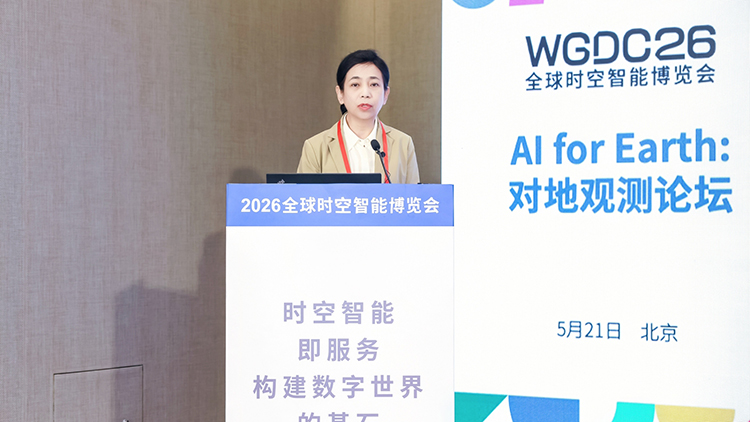
During his speech, Zhao Wenbo called for grasping the market-oriented application scenarios of remote sensing within 3-5 years. We should not only look up to the stars and plan for the long term, but also focus on the present, create value, and be able to implement it, so that wisdom can serve the trend and actions can be in line with the times.
At the same time, she proposed a new proposition for remote sensing in the AI era - physical attributes and AI attributes, namely AI under the paradigm of "ontology". The comprehensive analysis of multi-source and multimodal data is the core engine for the market-oriented realization of remote sensing data from quantitative to qualitative changes. It is a huge opportunity and challenge to realize the new pillar industry of remote sensing in the AI era.
For the remote sensing industry, Zhao Wenbo believes that the observation accuracy and inversion capability of detectors are endless. The coexistence of dual zero illusion applications in the environment of scientific research and artificial intelligence. The precise and high-value application scenarios such as emergency disasters, hydrological monitoring, forecasting and early warning of rising water levels in rivers and lakes, and underground water pipe network leakage still face enormous challenges in determining what problems remote sensing can solve, and continuous scientific research and development are needed.
However, she stated that the essence of AI is driven by "data+models+computing power", and the integration of "remote sensing+AI" in the AI era activates new market-oriented momentum. Among them, as the "digital mirror" of the Earth, remote sensing data contains massive spatiotemporal dynamic information and is the most valuable and promising data source in the AI era, which will become the "super input" of AI.
From a deeper perspective, the broadband relay operation qualification for remote sensing data transmission is "stuck"; The inertia thinking of "heavy construction, light application" urgently needs to be broken through; The further improvement of remote sensing data openness, in the context of global competition, according to existing classification technology guidelines, can safely and controllably increase the data openness to 0.3 meters, becoming a key policy breakthrough to unleash value and enhance competitiveness; Making users willingly pay is the biggest challenge for the development of the entire industry.